West Highland Way: Day One -Sunday 13th September 2026
Milngavie to Drymen: 12 miles
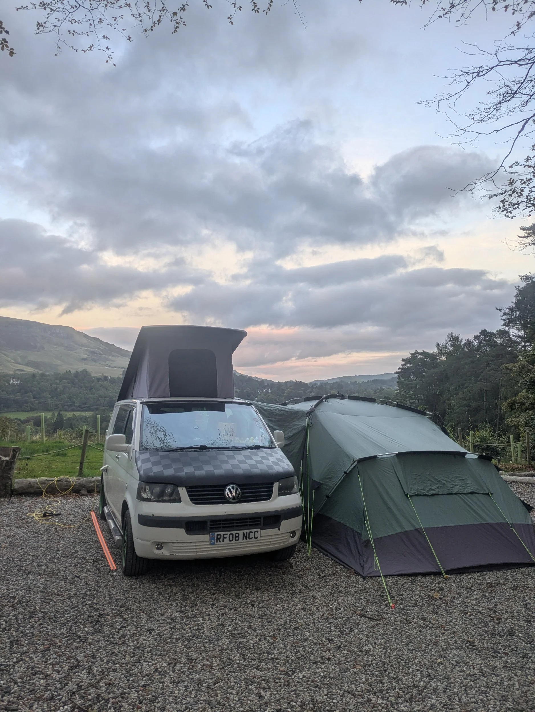
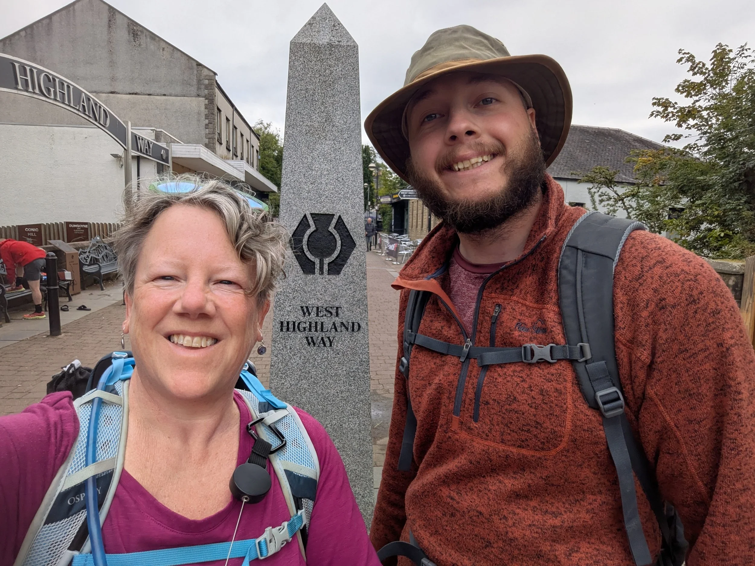
I’m Nordic walking the West Highland Way with my son Isaac and we picked him up yesterday in Dumbarton, he is camping with us in our Campervan awning. We spent last night camped at the West Highland Way Hotel and Campsite just outside Milngavie. After packing up the van and enjoying our complimentary breakfast we took the awning down and stowed everything in Clara, traveling the 15 minutes to Milngavie to start our walk. After picking up West Highland Way Passports from a newsagent we set off to the obelisk that marks the beginning of the 96 miles along the WHW.
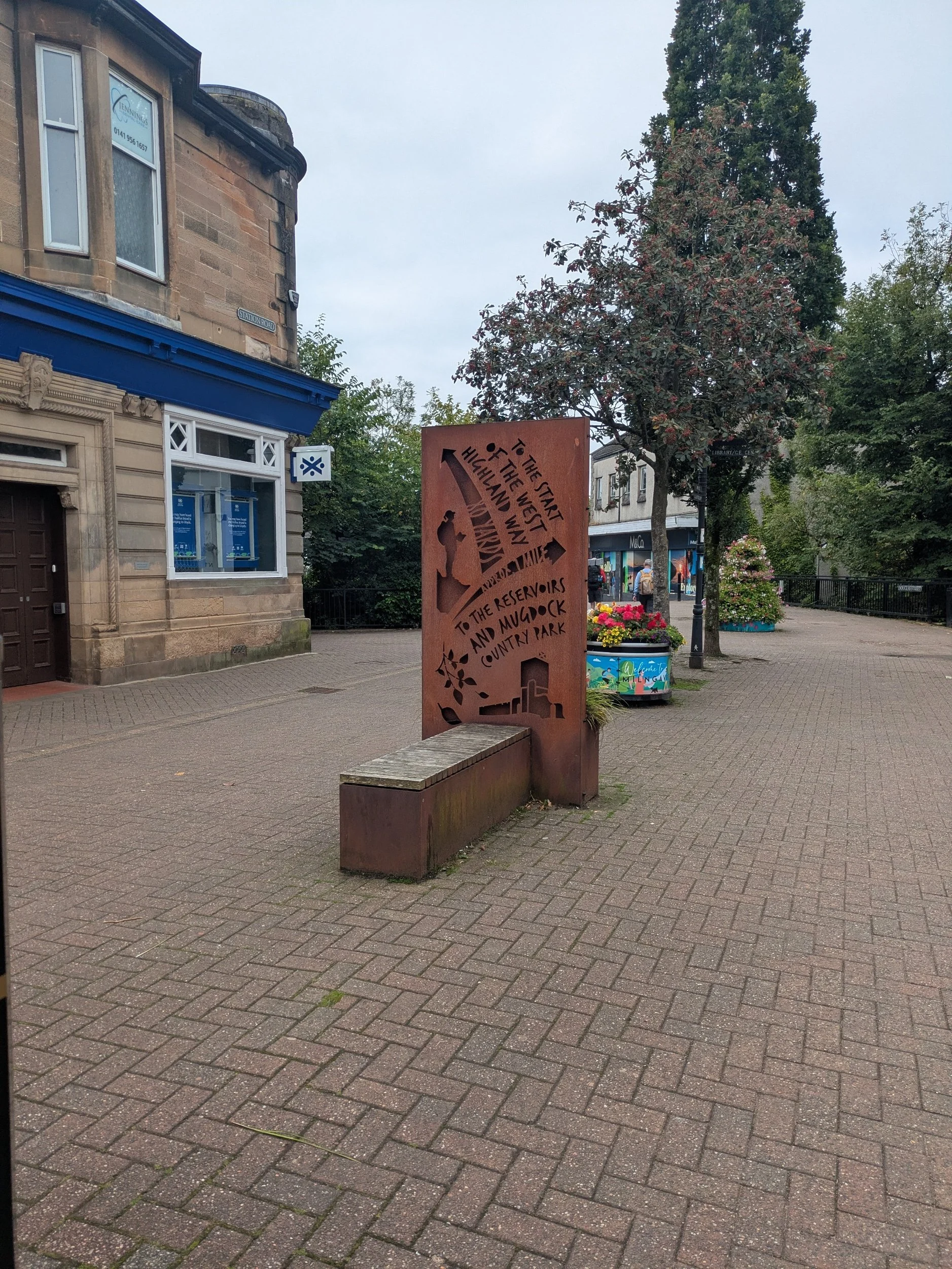
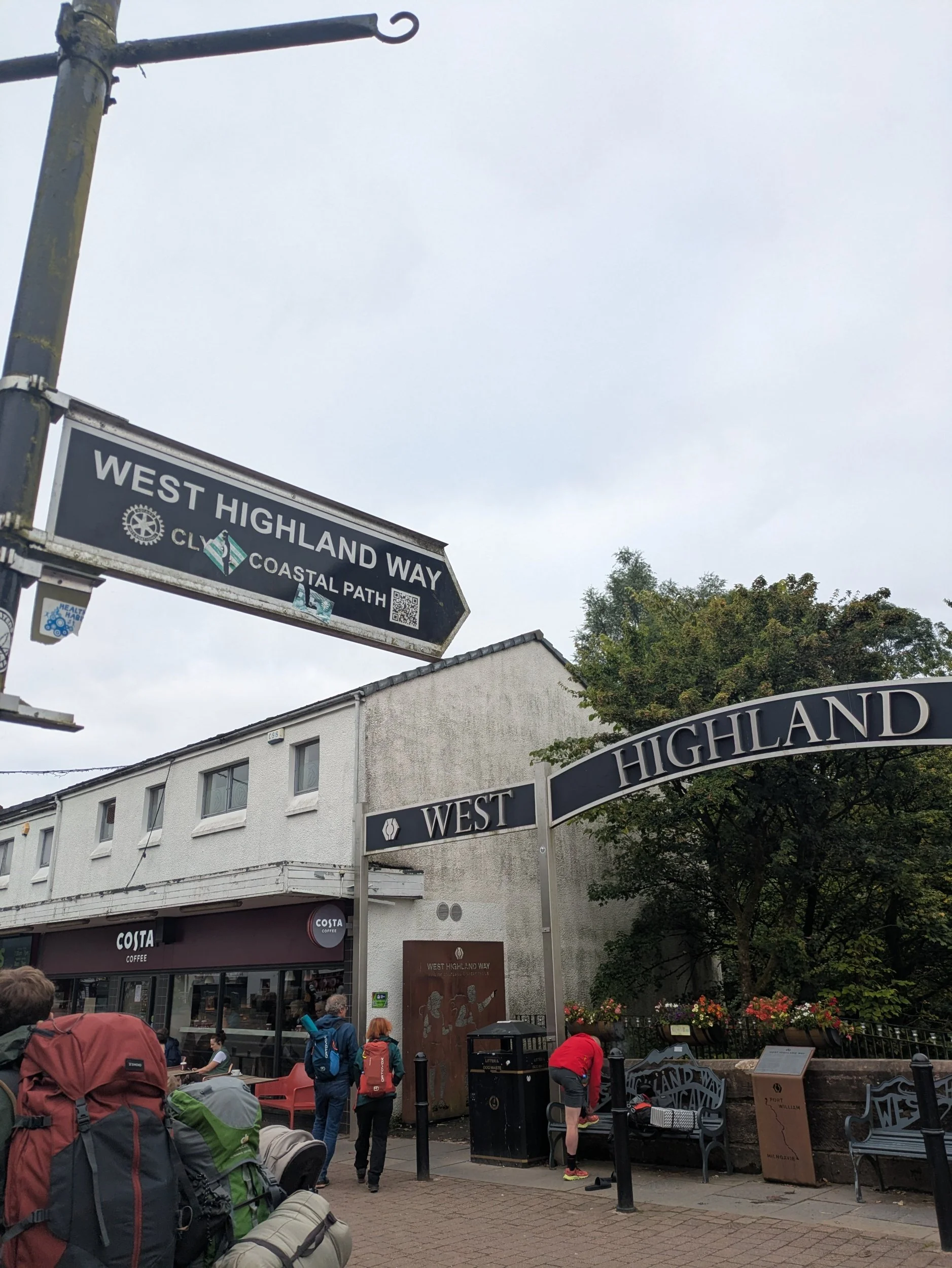
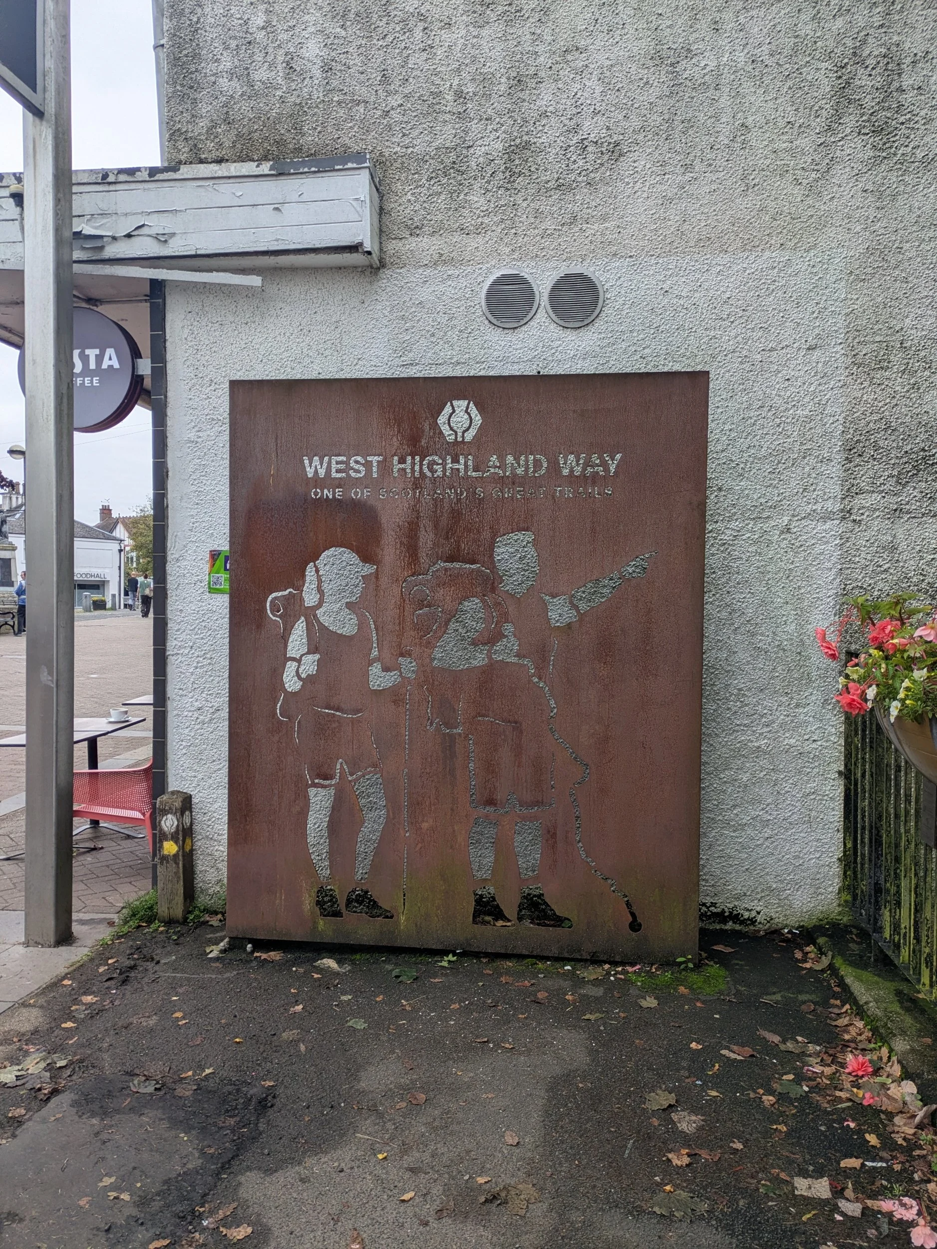
The start of the WHW goes past a number of rust coloured panels depicting parts along the WHW as you descend the slope away from the shopping precinct.
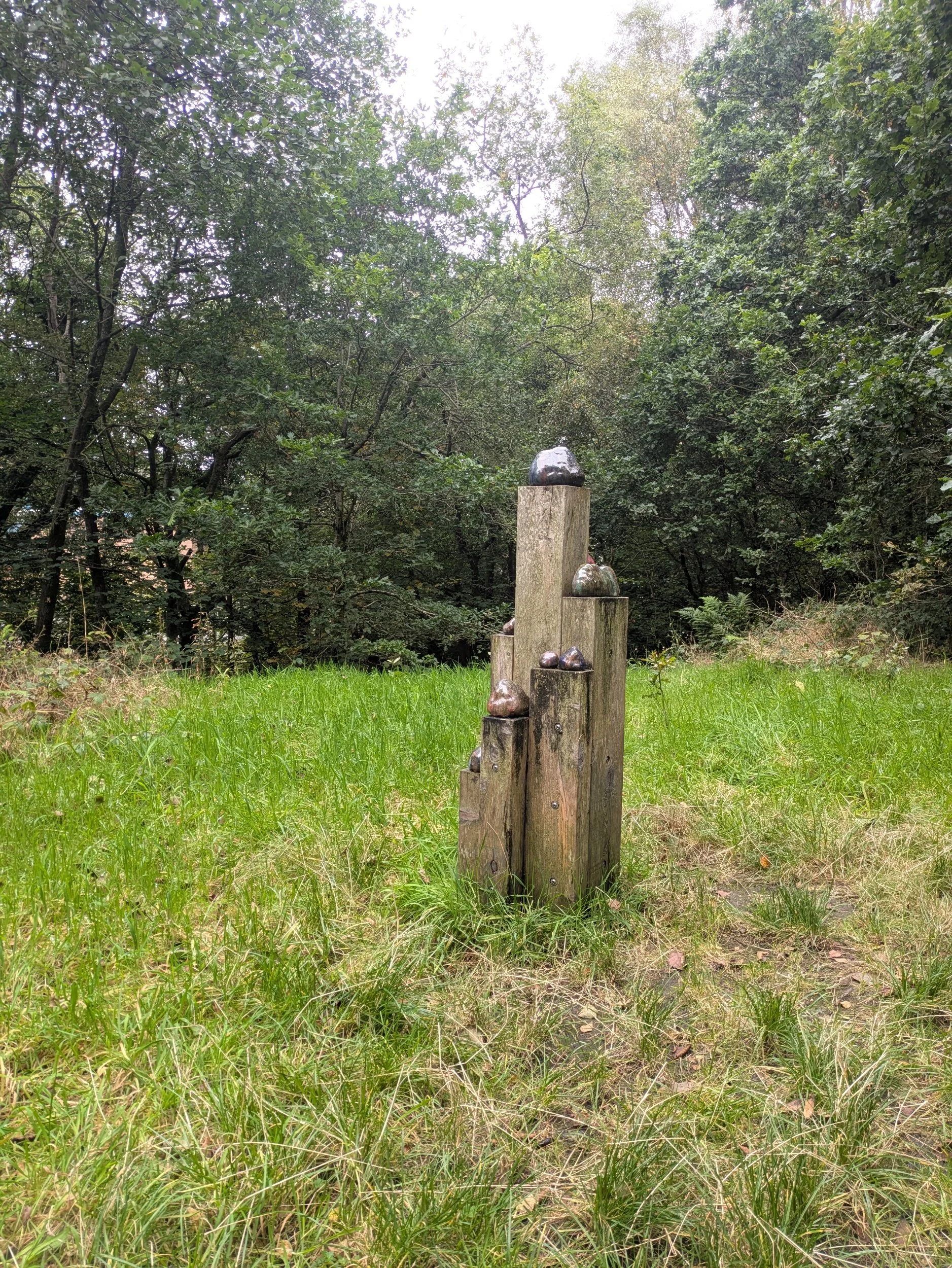
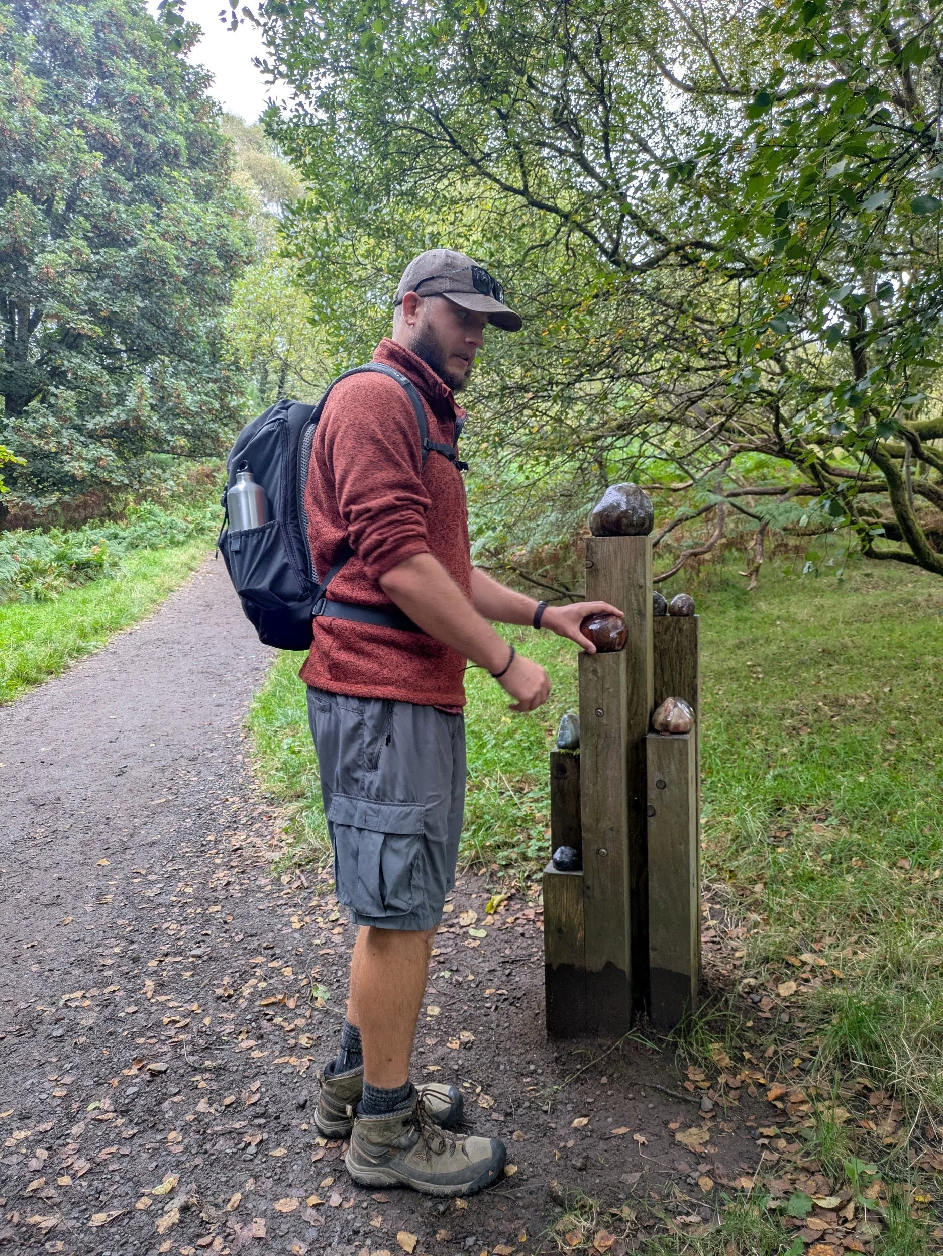
After passing through the rear car park of shops the route goes through a nicely planted area and under a road before going alongside Allander Water, a small river or locally known as a burn! This path leads into Mugdock Country Park, with very pleasant walking through attractive woodland. We came across several of these wooden plinths with coloured ceramics atop them which turns out to be a trail called Scholars Rocks created by Rachel Mimiec. The highly glazed, hand built ceramic ‘rocks’ make visual and physical connections to East Dunbartonshire geology, landscapes and industries that once utilized resources provided by the landscape.
Further inspiration came from ceramic artefacts found in the area -Medieval and Roman pottery, as well as more recent Allander Pottery and Campsie Ware. These influenced the colourful glaze effects, which were combined with a unique home-made glaze created by grinding lime-kiln waste that was collected in the landscape.
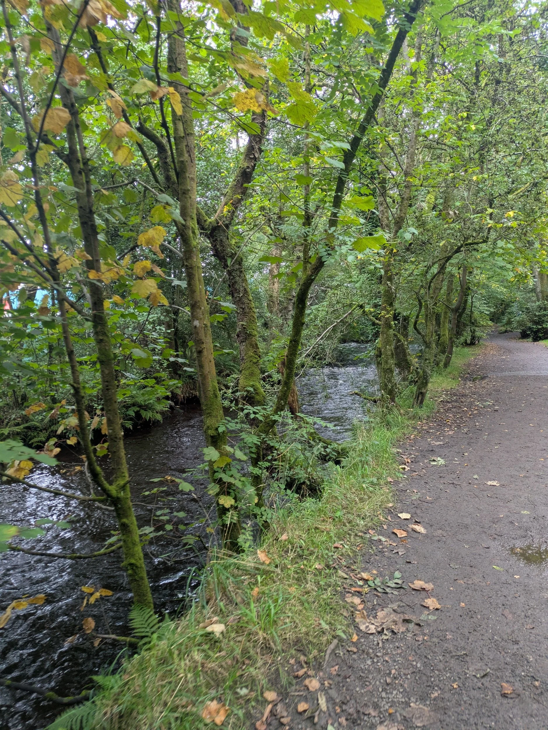
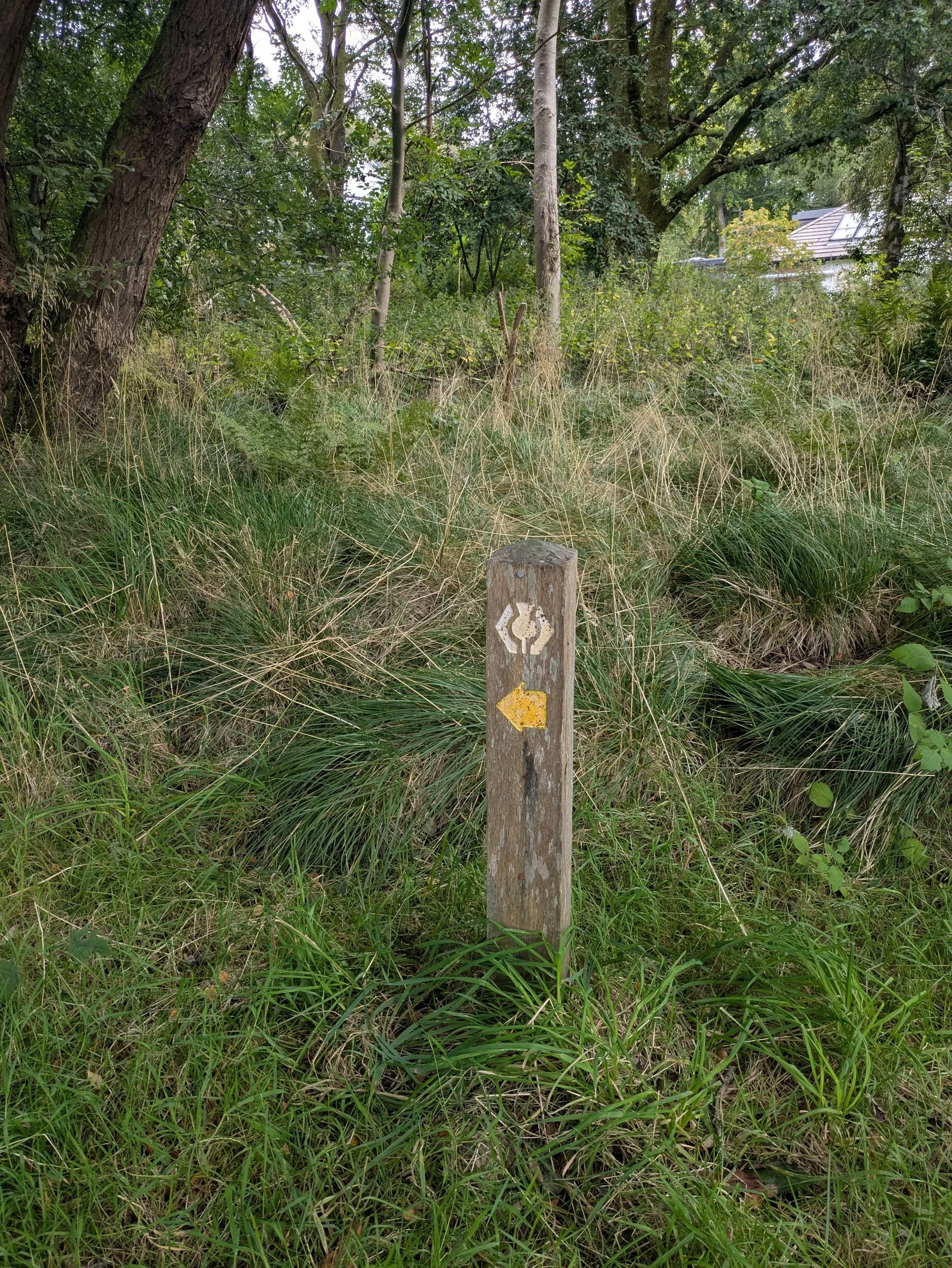
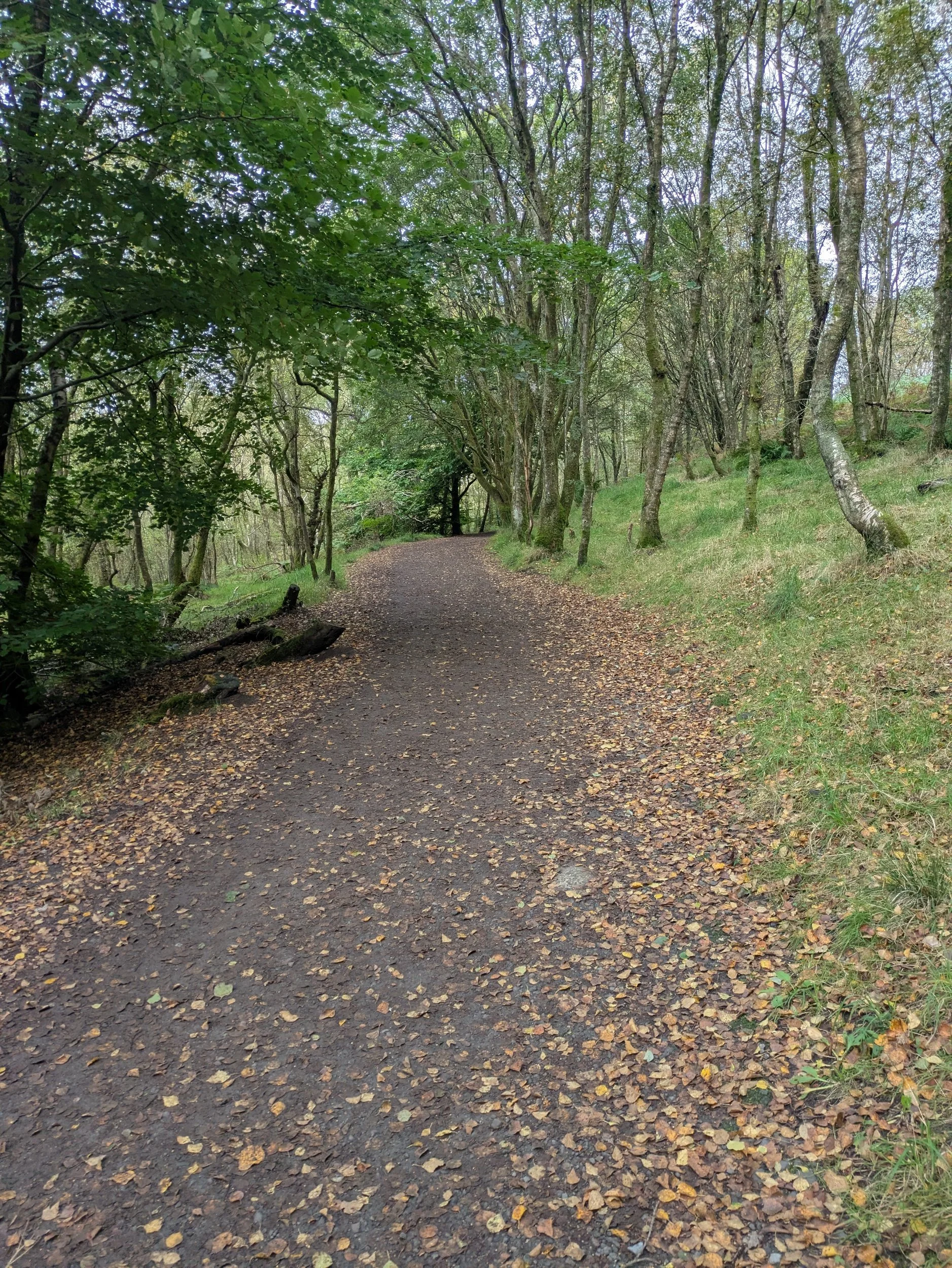
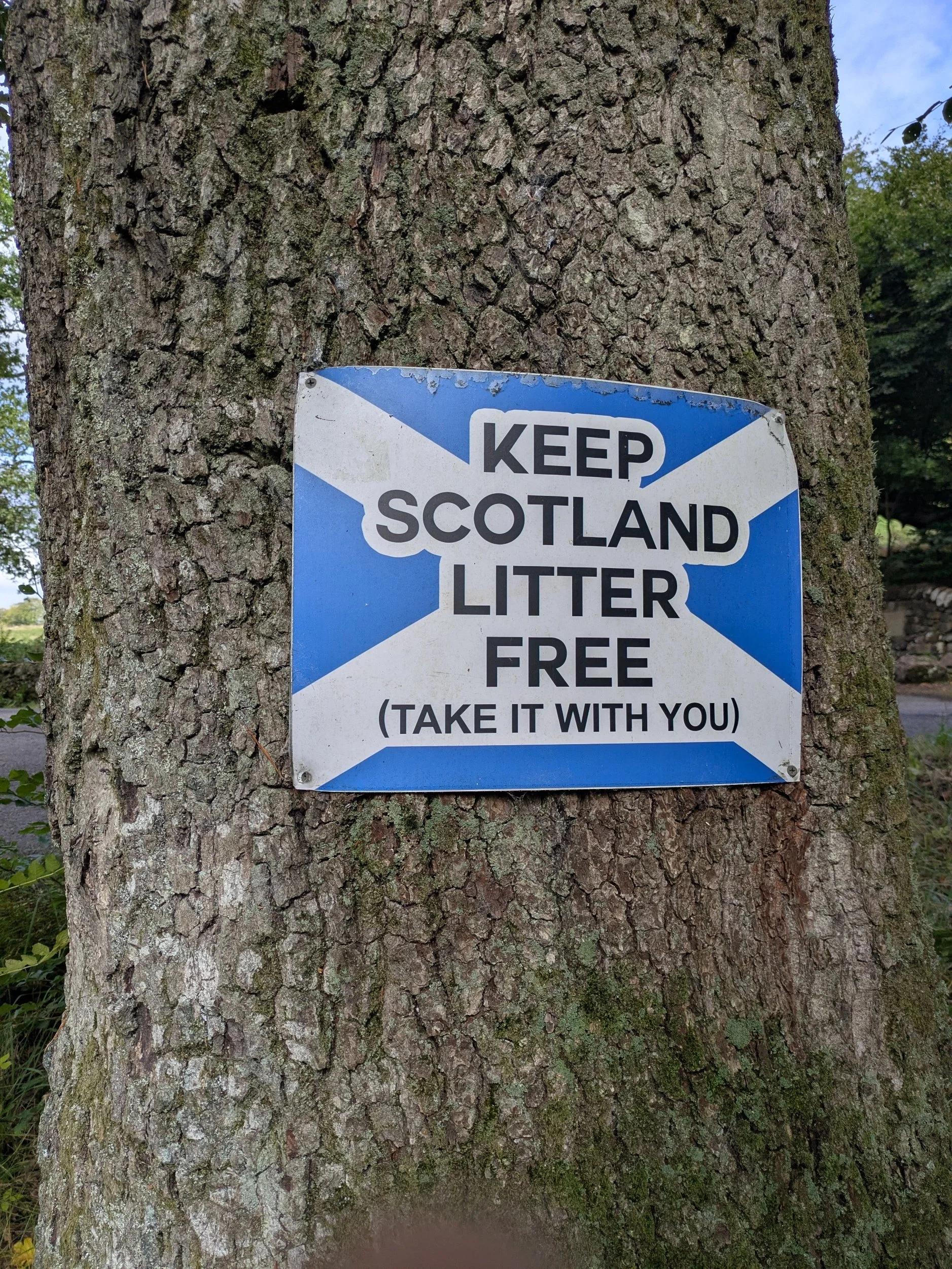
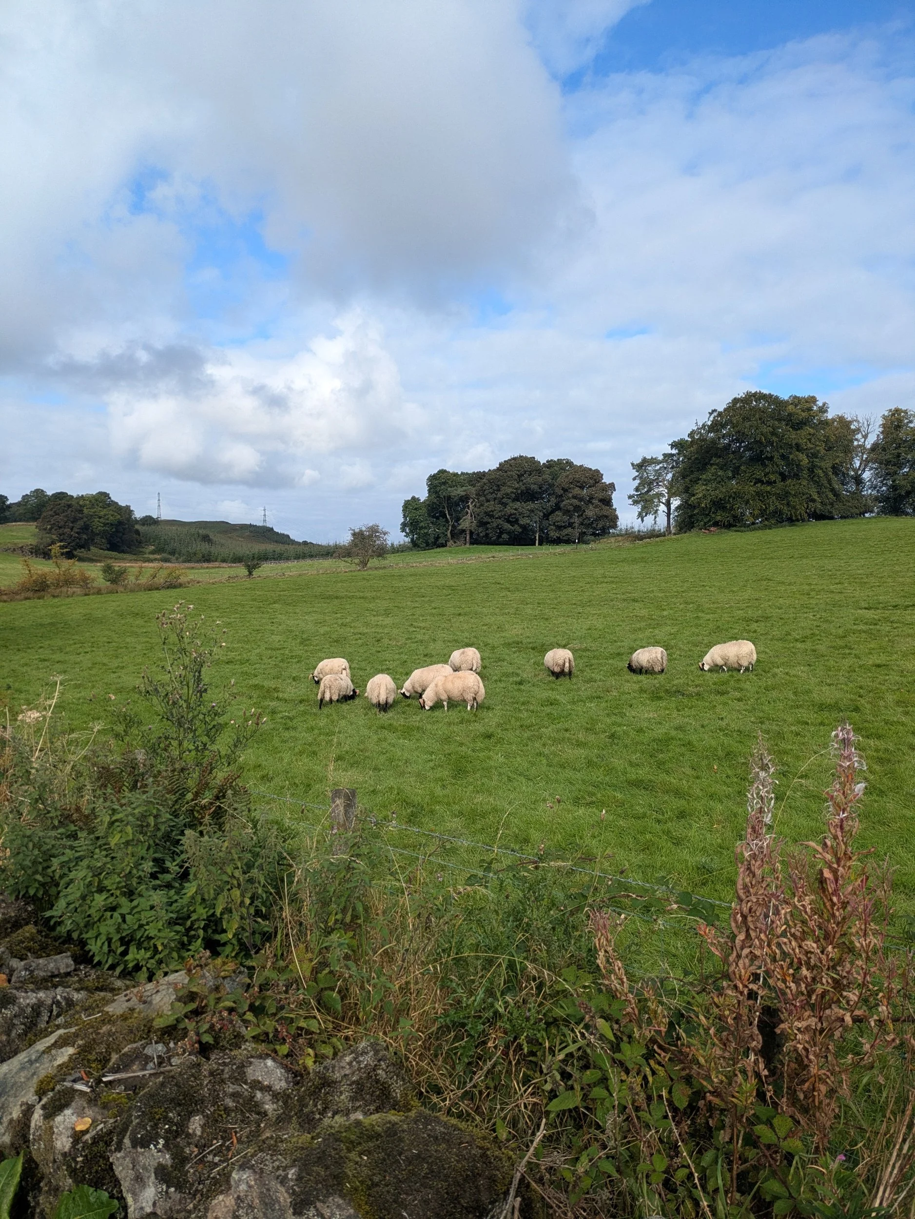
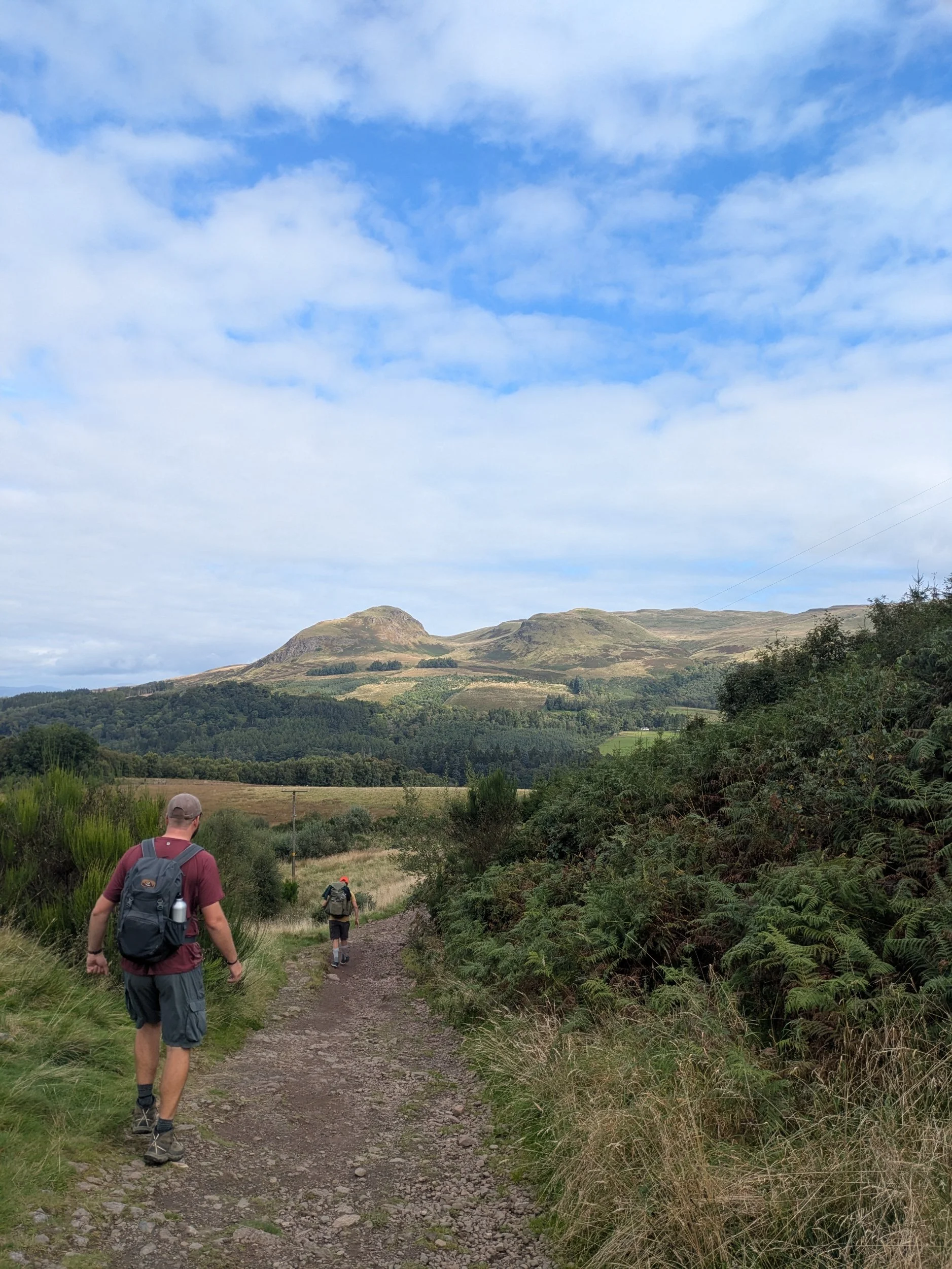
More pleasurable woodland walking follows, flanked by Allander Water. Boardwalks traverse marshy areas and before long we get a glimpse of Dumgoyne at the Western end of the Campsie Fells. We pass by Craigallian Loch along a broad track which goes through a little more woodland before coming across a number of holiday chalets which were constructed around the time of the Second World War! This comes out onto a road which we have to follow for a bit – people drive way too fast on this where there are walkers and no real footpath! The track we turn onto is known as Tinker’s Loan and the landscape becomes more rugged here with bigger hills in the distance, which upon research could be the Crianlarich Hills and possibly Ben Lomond, the most Southerly Munro.
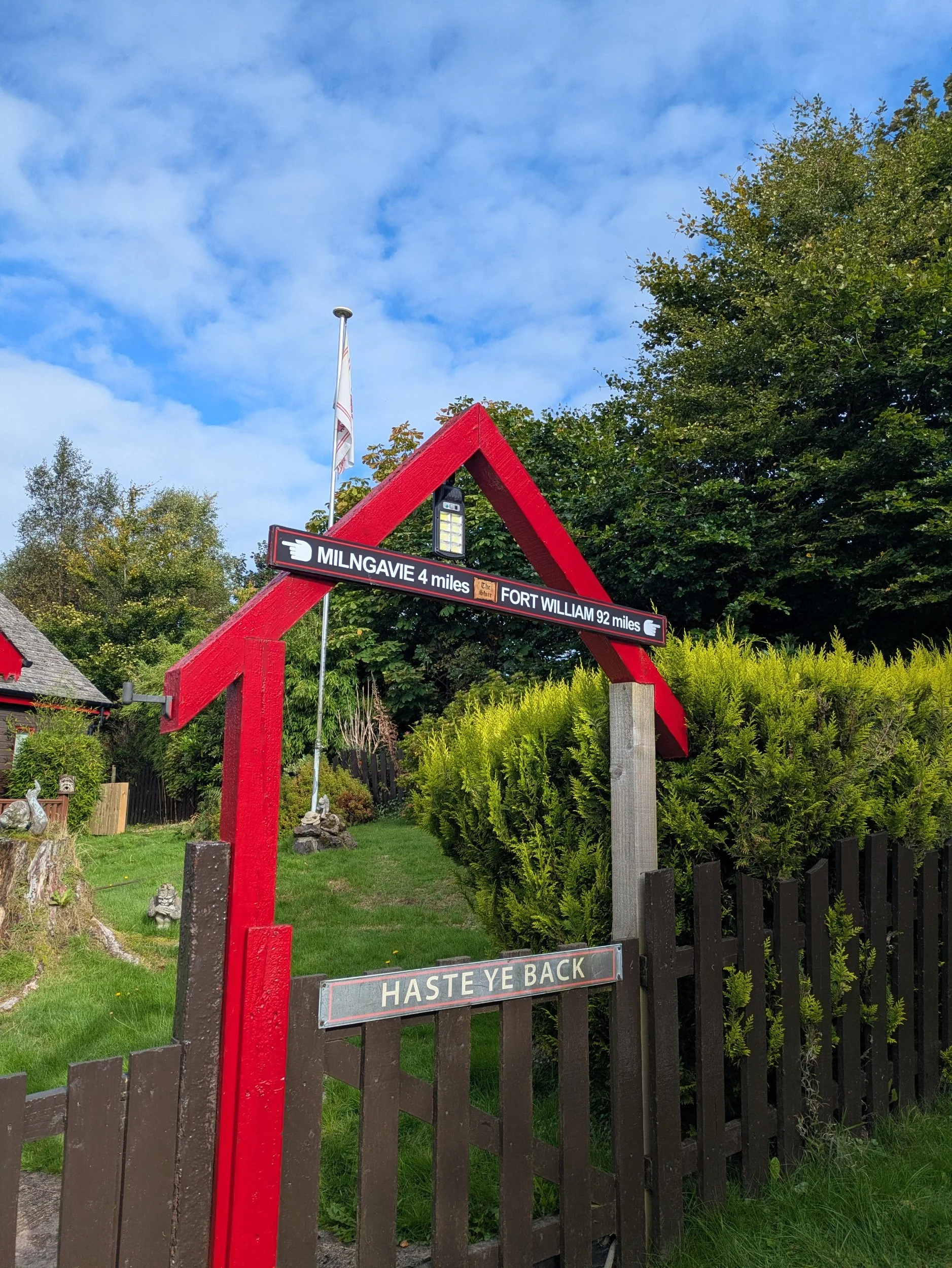
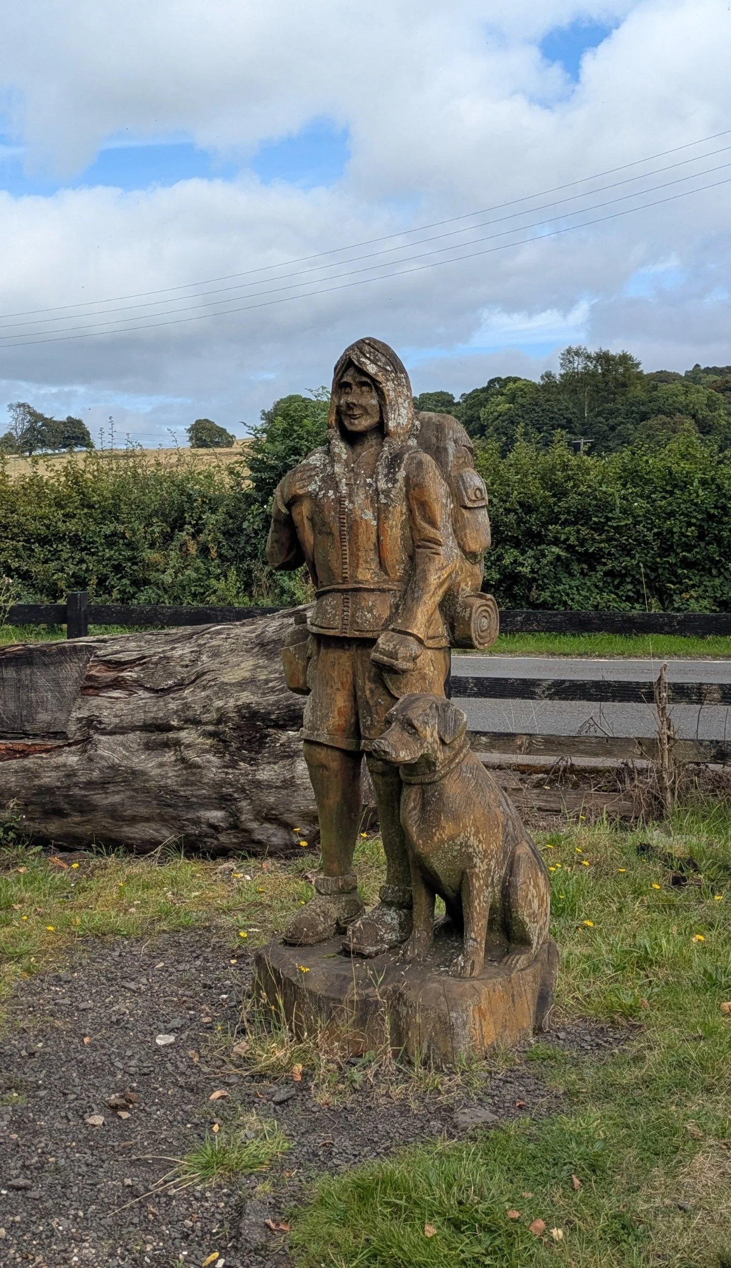
Isaac made a new friend along this stretch!
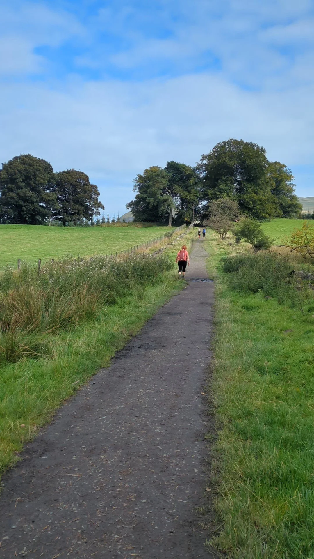
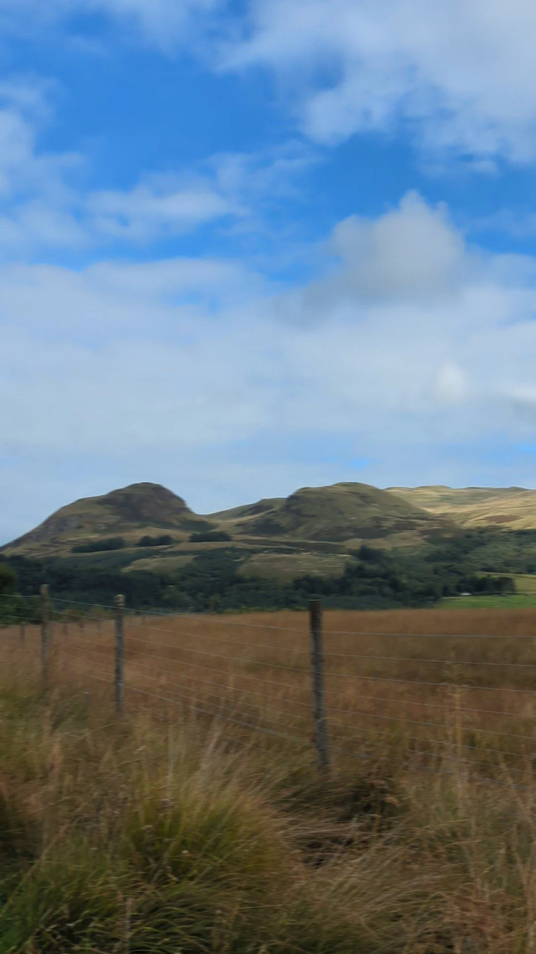
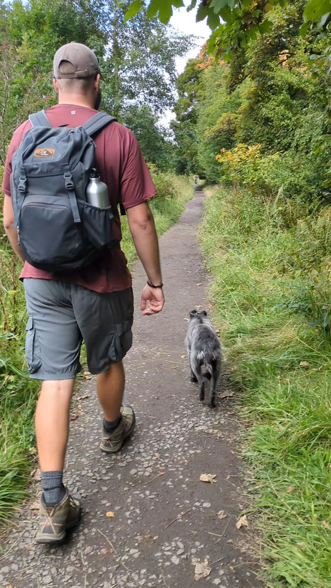
Here we continue the route along a rough track across moorland before following a path between open pasture and a hedgerow and then onto a farm access track. After we hit the line of a disused railway crossing a series of fields and access lanes before passing a path to the Glengoyne Distillery, which we ignore as neither of us are whisky drinkers!
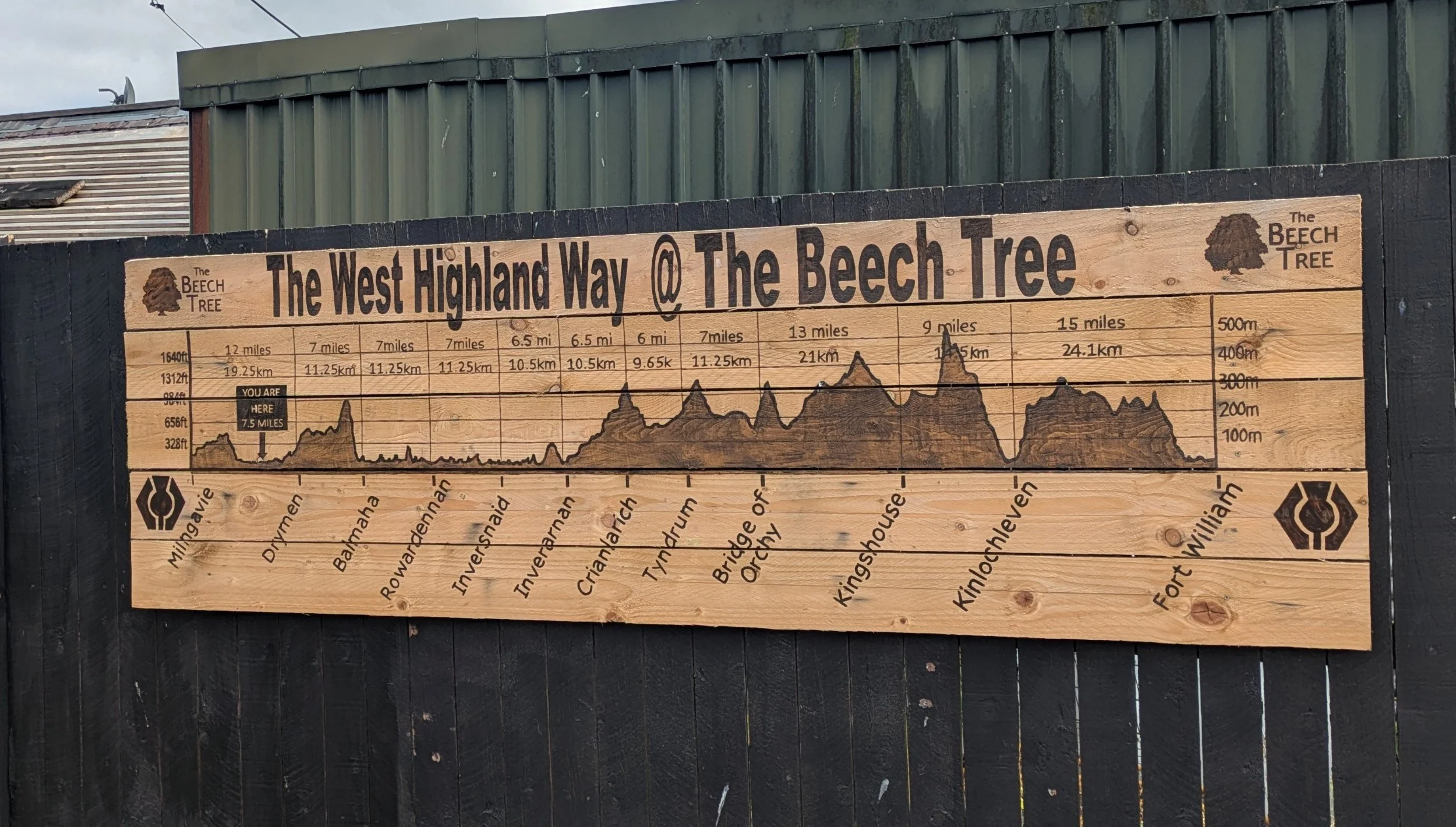
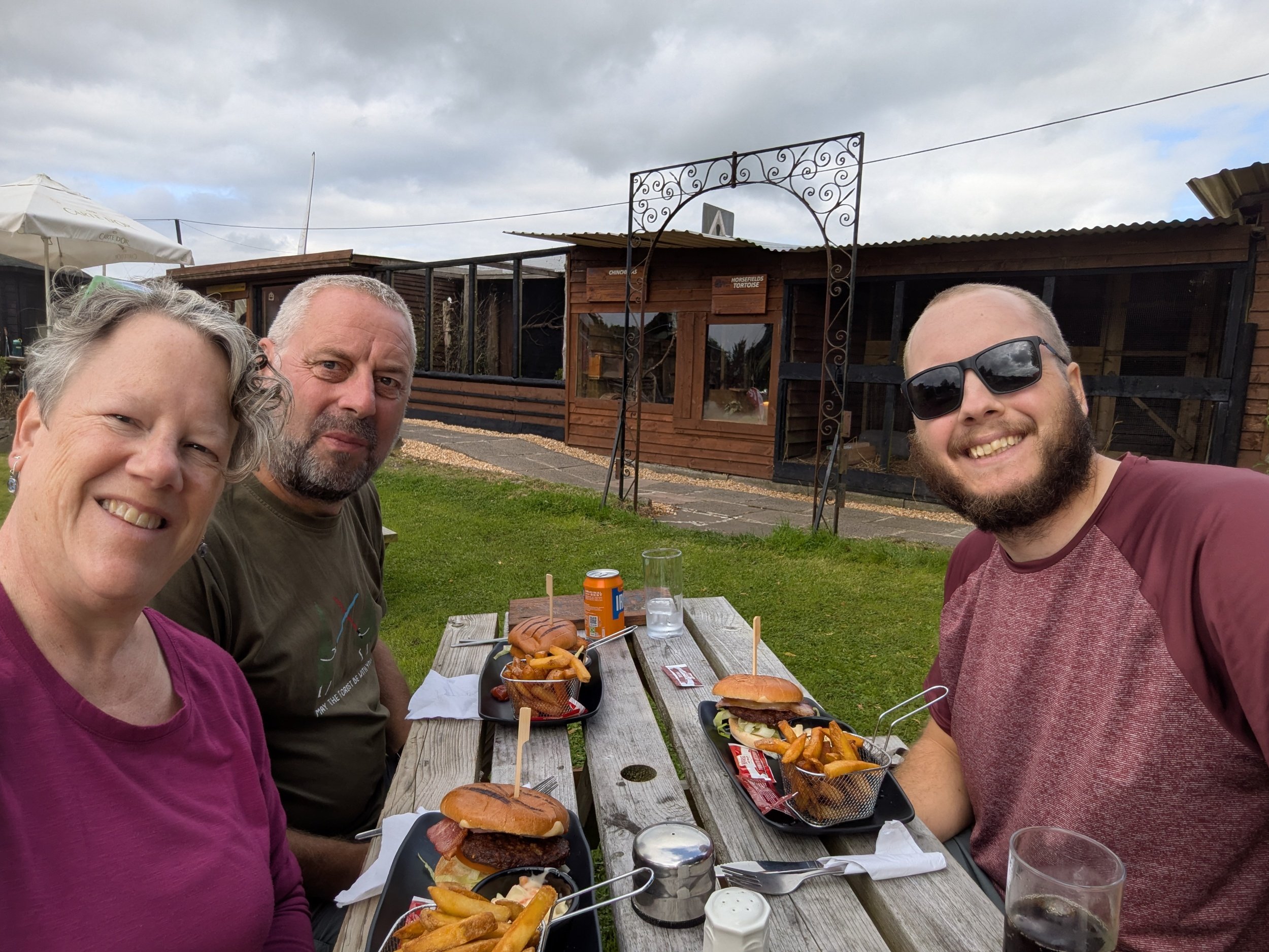
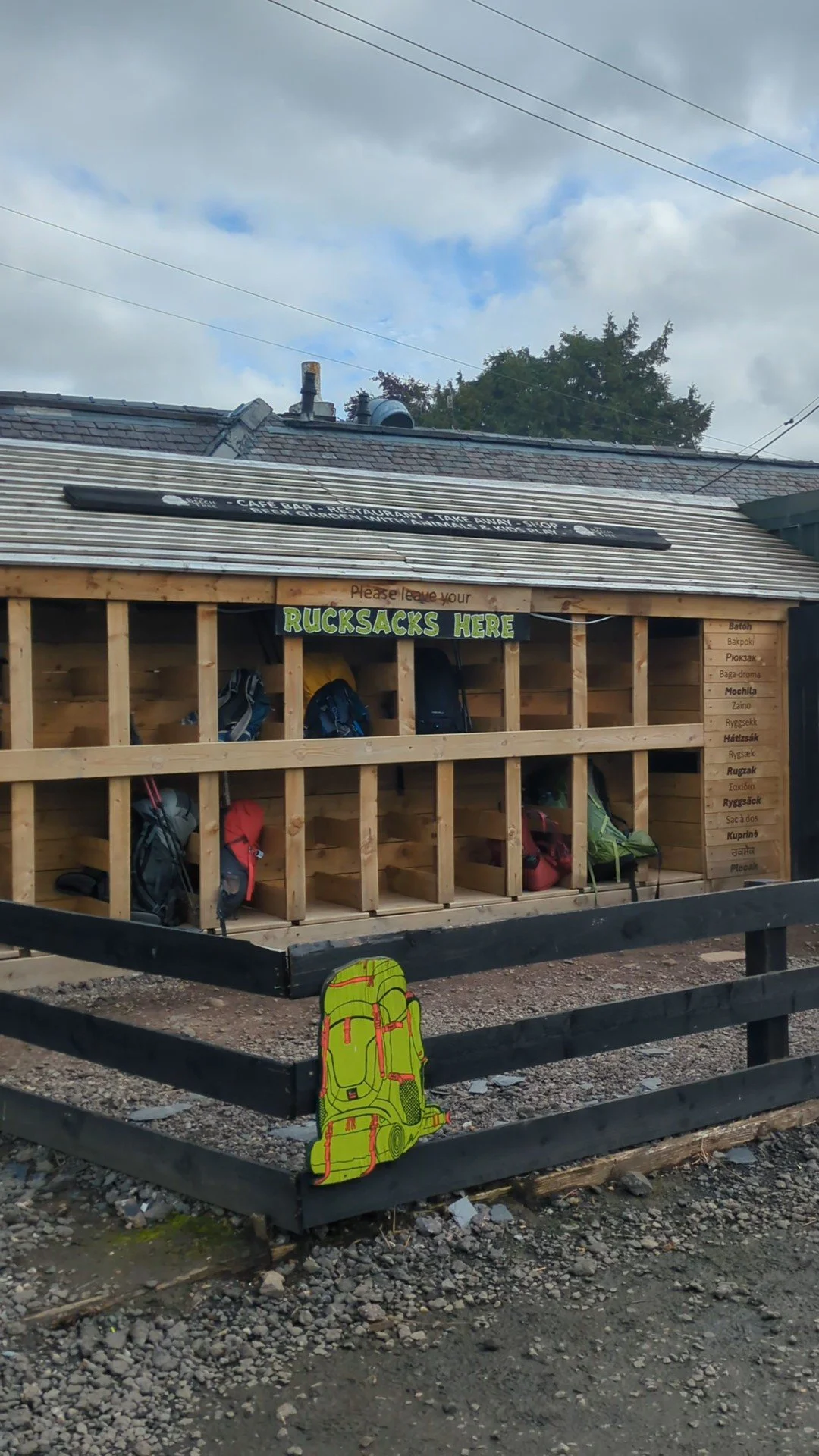
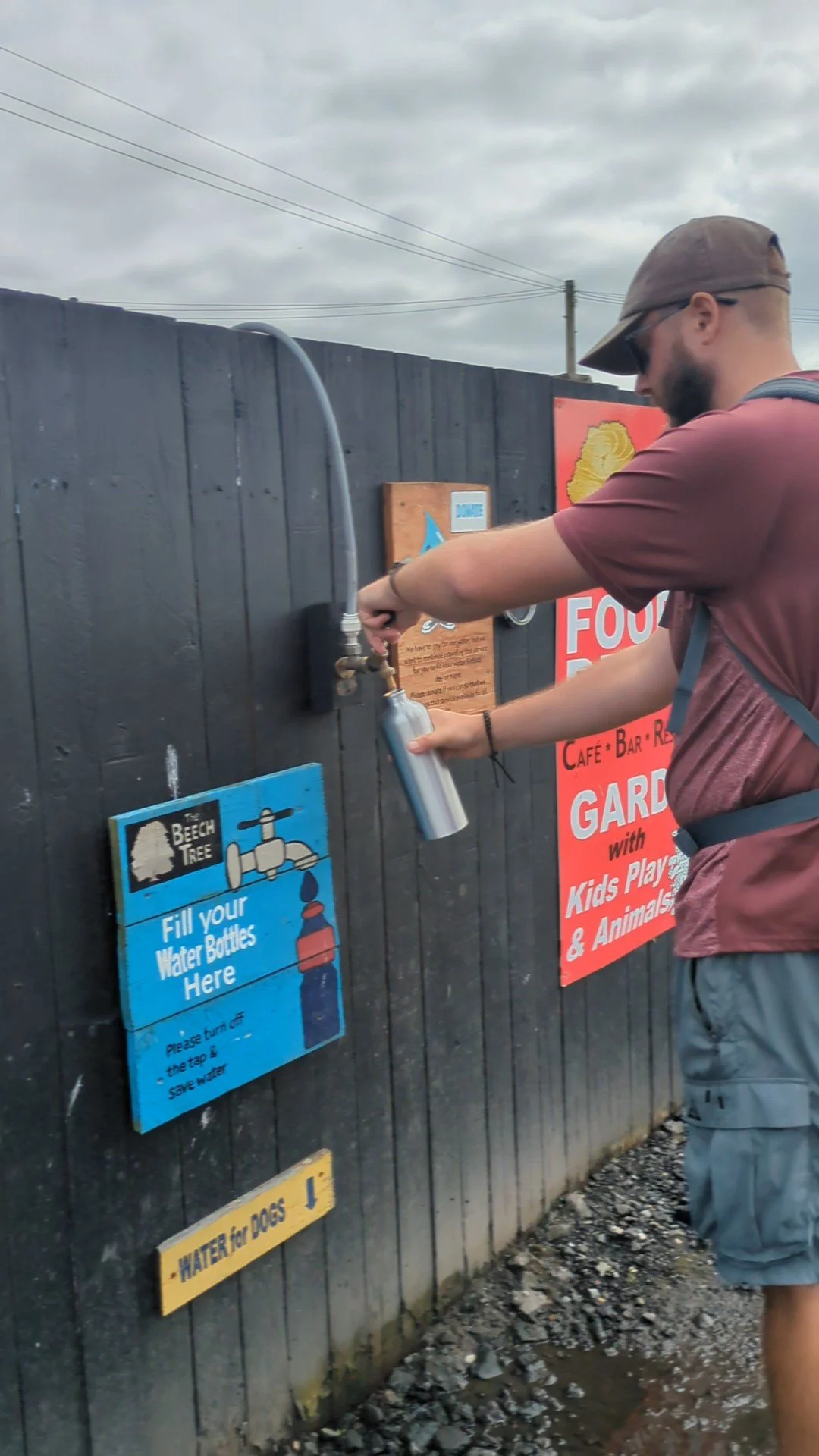
At the site of the former Dumgoyne Railway Station there now stands The Beech Tree Inn, where we have arranged to meet Steve for lunch. The weather today has been dry so far and it is pleasant enough to sit outside for lunch, we have burgers and delicious fries (not enough for mine or Isaac’s liking!) This place is really well set up for walkers with a rucksack store, water refill point and information about the West Highland Way. It also has aviary’s and small animal pens!