
Nordic Walking The Thames Path Leg Four: Newbridge to Oxford

Leg Four: Newbridge to Oxford
When: Sunday 17th August, 9am
Miles walked: 15.14 miles
Steps taken: 31,748
Moving time: 4:56:03
Elevation gain: 31 ft


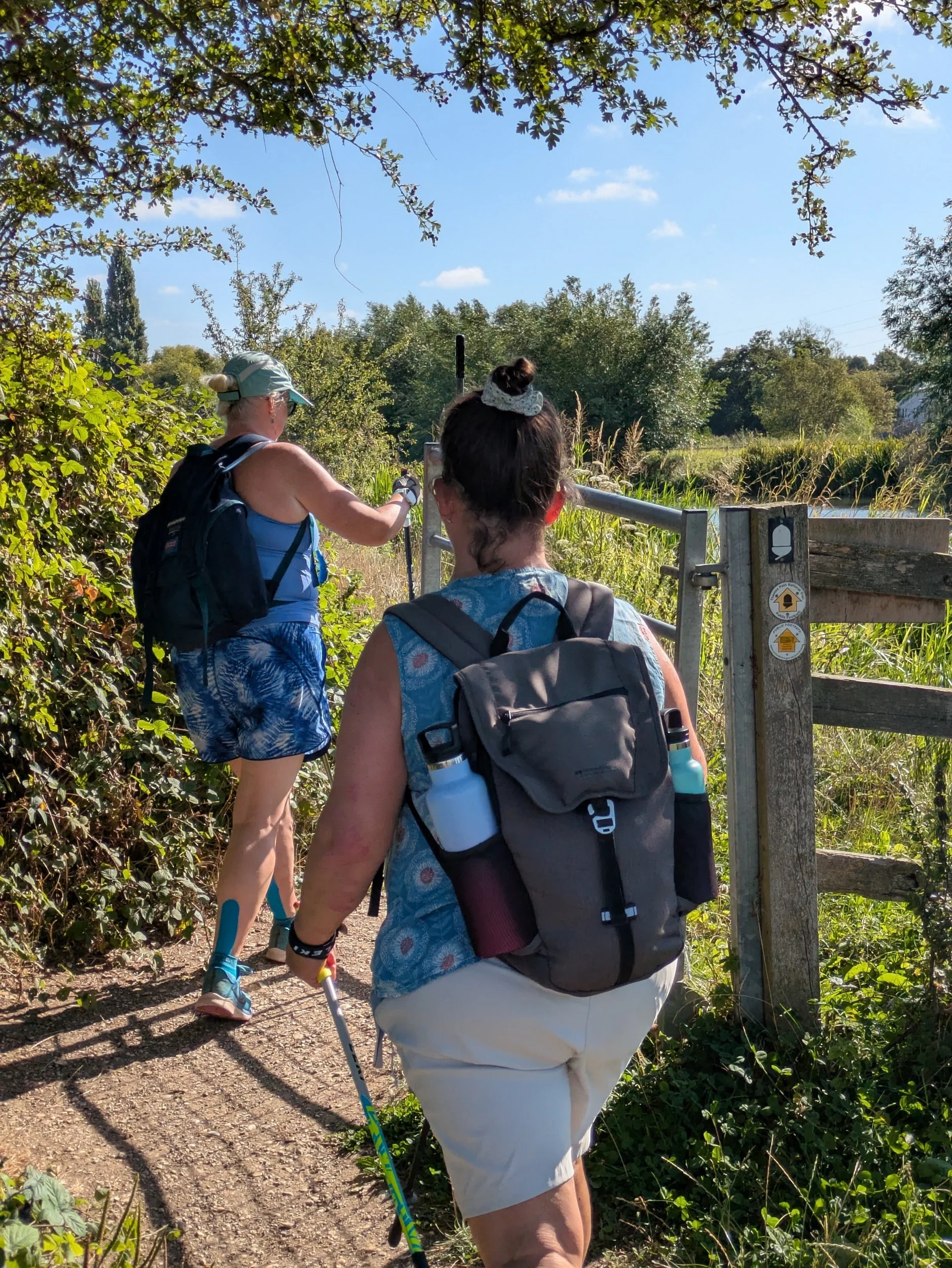
On Sunday 17th August three of us met at Oxford’s Seacourt Park & Ride car park, off Botley Road on the outskirts of Oxford. From there we drove one car to Newbridge and parked outside the Rose Revived Pub/Hotel and set off in glorious sunshine back towards Oxford. Passing through the riverside terrace of the pub (which looks like a lovely location for a riverside breakfast in the sunshine) we soon pick up the path again beyond the lawn. We are back on wide grassy paths through meadows with the sun shining brightly above us.


There’s a little permissive footpath around a conifer hedge as apparently the footpath gets very muddy (not sure that would be a problem this summer) and then we are back in meadows. We pass a beautiful wooden footbridge which is known as Hart’s Weir Footbridge as in years gone by there used to be a weir here, but it does seem weird in the middle of nowhere!


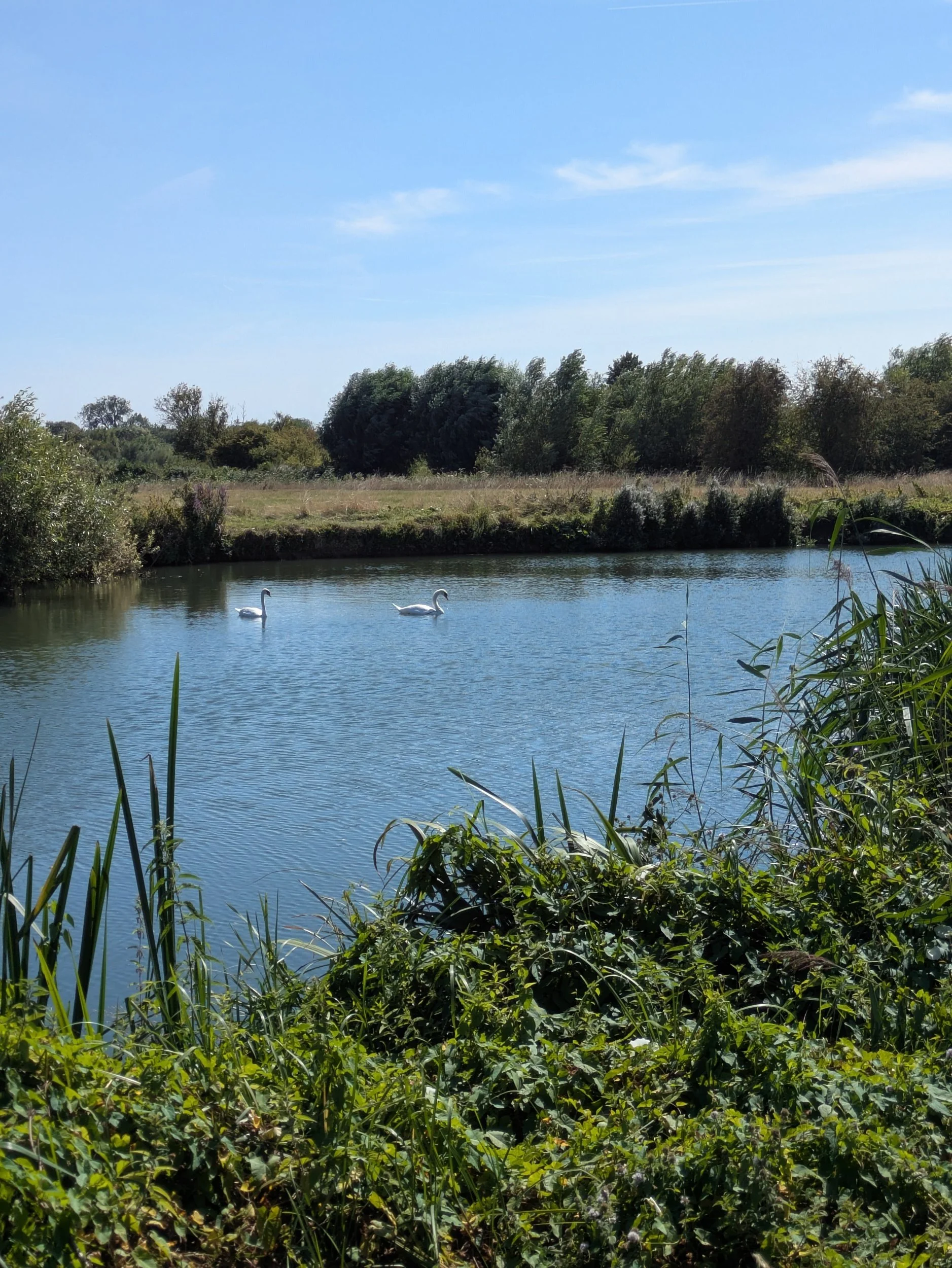
Back on the riverside it’s peaceful, tranquil even for a while before we hit Northmoor Lock. There is an abundance of wild flowers along the river, mostly Purple Loosestrife and Common Fleabane.


We carry on walking beside the river and stop in a lonesome shady area to have a drink and a big group of ramblers pass by. Soon we come into yet another wide open space as we approach Bablock Hythe, there’s quite a few folk milling about at the other end of the green space, I think some fishing may be occurring! Bablock Hythe is one of the most well-known river crossings on the Thames and has been since the Romans forded the great river here. In the II World War there was a vehicle chain ferry here, sadly the only Ferryman now is the pub. Unfortunately I cannot claim my stamp for my Walk The Thames Passport because the Ferryman is not open. Here the path leaves the riverside for a while, presumably to allow the vast Caravan Park at Thameside Court some premium riverside pitches! So we turn up the approach road passing the site and onto a road before eventually turning right to go several fields of sheep mostly all clamouring for the same strips of shade! Eventually we return to the riverside.


A few more twists and turns of the river and we are approaching Pinkhill Lock and cross over the ugly metal weir bridge to reach it.


After Pinkhill Lock the path diverts up to the B4044 due to the original path being eroded away, a short walk alongside this busy B-road passing a few houses, one called Wooden Shoes ( I wonder if they are Dutch) and the turning down the approach road to Oxford Cruisers boatyard (pretty bee garden here) and back onto the path by the river. Following the meandering riverside for a while before reaching Swinford.


Swinford Bridge is one of just two remaining Toll Bridges on the Thames. This one was built for the Earl of Abingdon around 1770. It’s free for pedestrians! However we walk under one of it’s magnificent arches and continue on our way.


Beyond Swinford Bridge is Eynsham Lock, another pretty well-cared for lock. Sarah had a chat with a boater who we have been seeing regularly on our walk today - they were impressed by our speed! Eynsham Lock also had picnic benches IN THE SHADE! Norbert decide we were definitely stopping here for our packed lunches! We all enjoyed not having to get down on the floor! After a good rest and fuel-up we set off to complete the journey to Oxford passing a large herd of cattle enjoying cooling-off in the shallows of the river on the opposite bank. Then a long stretch of isolation through meadows.


We did enjoy some shaded paths as we passed the edge of Wytham Great Wood, a 1000 acre wildlife haven bequeathed to Oxford University in 1942, an SSI. Eventually we reach King’s Lock which is apparently the northernmost point on the Thames Path and also has a low-carbon visitor centre built in 2007/8 and this experimental project looks to be carbon-neutral and serve as an example for further projects along the Thames waterways.


A twisty-turny path now leads us under the 1960’s built A34 by-pass bridge (not very pretty) and after undergoing stability monitoring since 2019, is now undergoing a project to strengthen the structure to the outer supporting legs. We continue on passing what looks like a Shepherds’ Hut on a floating pontoon (here starts the weird and wonderful range of ‘boats’ on the Thames!) and under Godstow Bridge.


We are all puzzled by the round bale of hay floating by the channel stream before the bridge, how? who? why? We pass the remains of Godstow Abbey which was a nunnery established in 1133 and where young girls of the nobility were often sent for ‘finishing’. Henry II met Rosamund Clifford here. Only the outer walls and ruins of the abbess’s chapel now remain. In 1541 most of the building were destroyed during the dissolution, those that remained were put to use when the Royalists used them during the English Civil War a century later. No metal detecting is allowed at this site! At Godstow the path became noticeably busier.


As we walk on towards Oxford the river becomes much broader and across the river is Port Meadow which is thought to have been grazed for over 4000 years and remains unchanged since King Alfred gifted the 120ha to the Freemen of Oxford as a reward for defending the Kingdom against the marauding Danes. The collective right to graze their animals free of charge was documented in the Domesday Book and has been exercised ever since. Lots of people were either on, in or near the water on this stunningly sunny Sunday in August, sailing, swimming, paddleboarding, sunbathing, dog-walking, cycling, kayaking to name but a few. There was a real buzz about the area.


Here we see a sign for ‘The Perch’ and decide to follow the queue of people under the willow-arched footpath that leads to the pub. Enjoying a lovely cold drink and the shade of the delightful ancient willow tree in the garden gives us much need oomph for the final foray into Oxford. Then it’s back to the path and over a footbridge to the other side of the river.


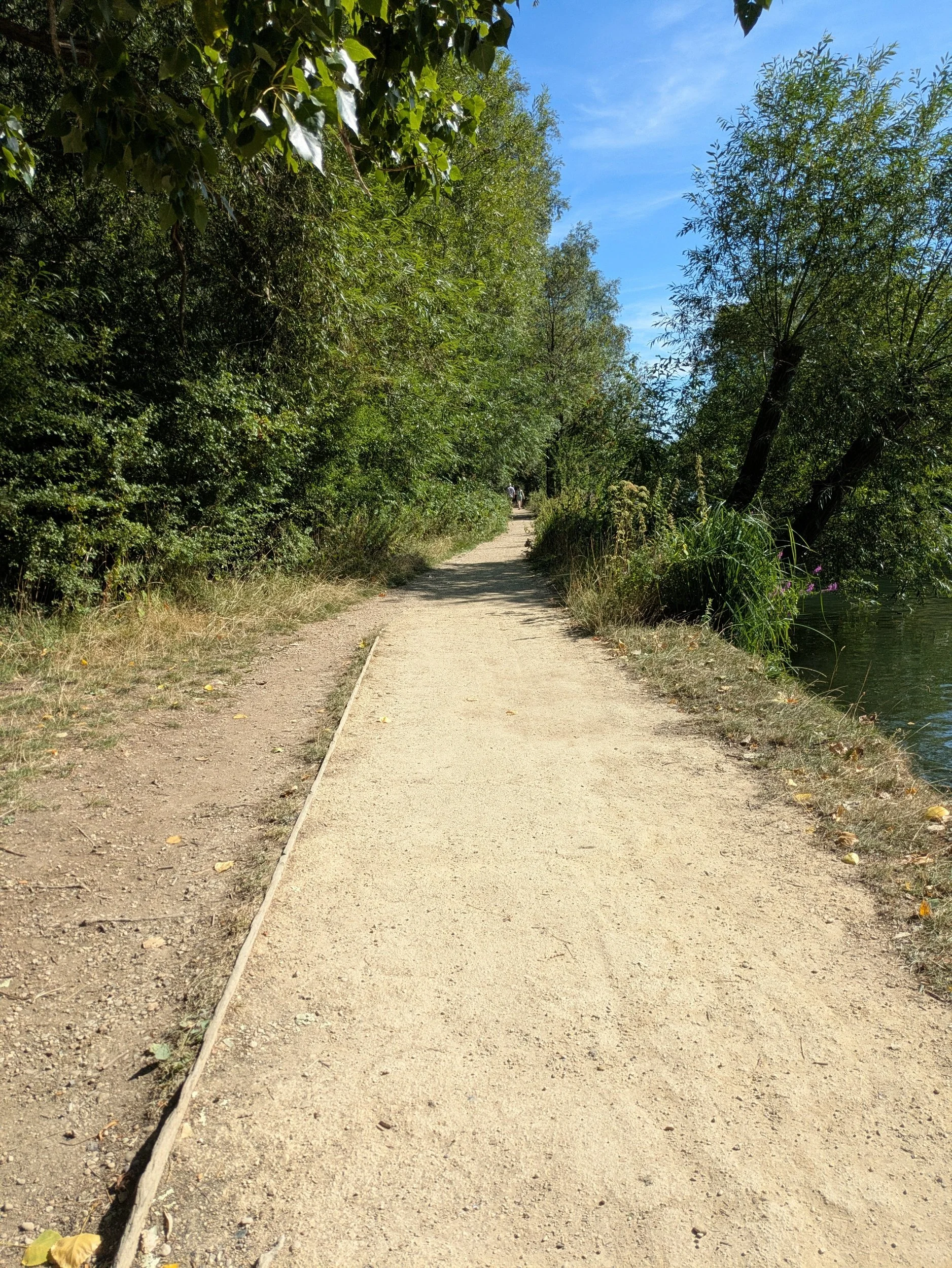

After crossing the river we spot another missed café opportunity! This is The Medley, a locally-owned seasonal bar (April to September) Pizza, pints and cocktails beer garden! Only accessed on foot! We continue down the dusty path towards Oxford.


Now, here is where, dear reader, we went wrong.
We ended up going too far along the river and past the silver footbridge (even though I stopped to take a picture of it) and ended up by the Rewley Road Swing Bridge, which is now a scheduled monument. I couldn’t make sense of where we had gone wrong and so we back-tracked. Karen went over the previously passed footbridge and discovered Thames Path signage ON THE OTHER SIDE!!! There were no signs on the side we were on! So duly relieved to have figured out how we ended up in the wrong place we travelled across the footbridge to join Karen and headed along a cute gravel path alongside the river at the back of some houses (riverside needs trimming) until a Footpath Closed sign stopped us in our tracks. Following the diversion brought us onto a road parallel with the Thames Path and I spied a number 400 bus ahead. Knowing this was the bus we needed to return to the Park & Ride, but not knowing where the bus stop was due to the ongoing works around Oxford Railway Station affecting the top of Botley Road, I waved my arms at the driver and opening the doors, I asked where we could get the bus and he said jump on and so we did! Delivered hot & sweaty by the ‘even hotter than outside’ bus to the P&R we completed our post-walk stretches by my car (which was cooling) and returned to Newbridge so Karen could collect her car. We had reached Oxford! Now according to the guide book Kemble to Oxford is 54 miles, but according to my Strava we have walked 58.94 miles, or 126,136 steps!!